

The Maritime Asia Heritage Survey (MAHS) is proud to announce the launch of our new website. Building upon the Maldives Heritage Survey pilot project, this new phase of our work is based at a new digital heritage documentation lab at the Kyoto University Center for Southeast Asian Studies (CSEAS).
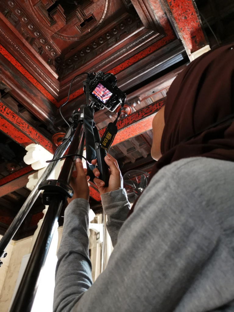 Here we process data collected by our field survey teams abroad. On a rolling start with work in both the Maldives and Indonesia, over the next five years we will also initiate branches of the project in Brunei, Vietnam and Sri Lanka to document sites and artefacts of endangered cultural heritage. Alongside primary data collection by our field teams, we also work with a range of existing initiatives across the region to integrate existing data sets into a new framework within a robust, user friendly, and stably preserved online archive. Our open-access online archive thus brings together a wealth of material from multiple sources to facilitate cross-reference for the comparative study of the connected histories of these maritime Asian societies, as well as for use in heritage management programs and by local communities.
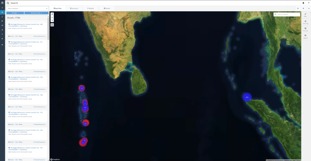
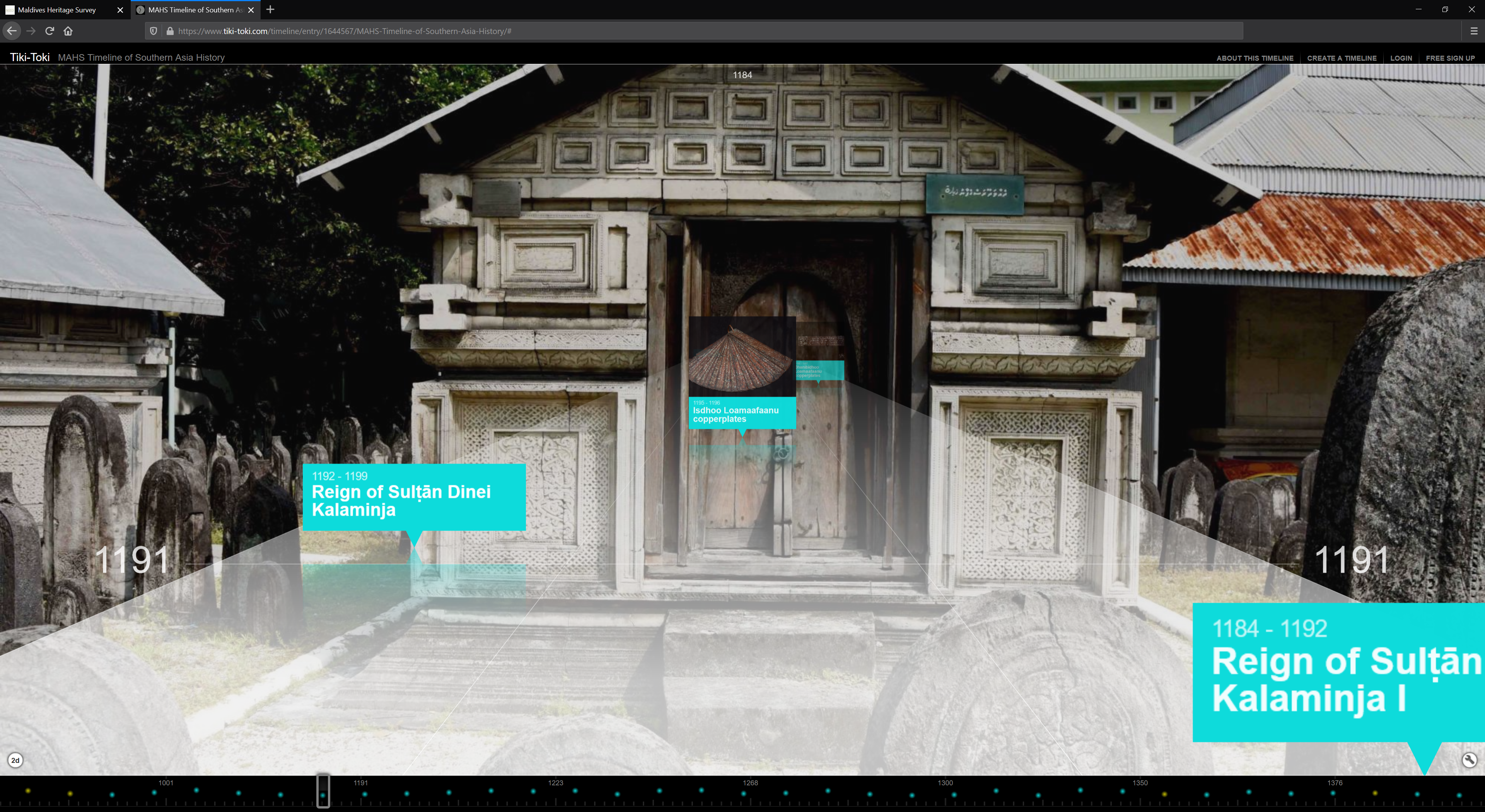
At the heart of our online archive is a database built upon the Arches open-source GIS platform. This framework structures our archive of robust records of sites, features, objects, and a range of digital heritage assets. The latter includes CAD site plans and architectural elevations, 3D models incorporating LiDAR and photogrammetry, IIIF deep zoom digitized manuscripts and metadata, as well as video recordings of oral history interviews in addition to standard documentary photography. The MAHS Team is also producing customized reference resources designed to help users to contextualize the data made available through our online archive, including an interactive 3D timeline, glossaries of local terms for architectural features, ornamental motifs, and traditional crafts, as well as a virtual library of open-access scholarly publications on parts of the region covered by our survey.
All of the primary data and digital reference resources compiled by the MAHS into this open-access online archive will also be secured in long-term digital preservation in the digital repositories of Kyoto University and the Bodleian Library’s Oxford Research Archive. Large point-cloud files for LiDAR scans and photogrammetry will also be made available through Creative Commons licensing through OpenHeritage3D.
Over the coming months and years new datasets and digital heritage assets will be constantly added to the online archive. Please check back regularly for updates and other news, and follow us on social media for announcements of major new additions to the online archive.