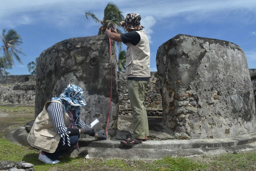
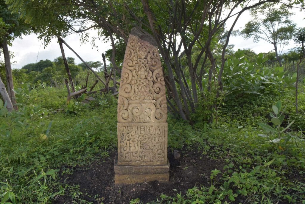
The Aceh Geohazards Project was based at the Earth Observatory of Singapore in partnership with the International Centre for Aceh and Indian Ocean Studies (ICAIOS), Syiah Kuala University and UIN Ar-Raniry from 2015-2017. The project investigated the interaction of geohazards and human settlement along the coast of Aceh, Indonesia over the past thousand years, combining multidisciplinary approaches of geology, geomorphology, history and archaeology to better understand the past occurrence of tsunami in Aceh, and the extent to which such events might have impacted past societies. Its work traced the evolution of settlements and coastal and river systems through the past millennium via geological mapping, geochronology, geodesy, stratigraphy, micropaleontology, and archaeology to produce a compelling picture of the interaction of humanity and geohazards for the past thousand years along this historically important coast. We found that the immediate predecessor of the 2004 tsunami occurred six centuries ago and devastated 14th century coastal settlements, including the prominent trading port of Lamri.

Our work has also helped better understand patterns of maritime trade around the region, and the formation of vernacular Muslim material culture in Indonesia. Opening up perspectives on an even longer time scale, the team also discovered a detailed 7,000-year sequence of tsunami deposits in a cave in coastal Aceh.
The geological and geomorphological work was lead by Professor Kerry Sieh, EOS; Dr. Nazli Ismail, Syiah Kuala University; Professor Ben Horton, Rutgers University; Dr. Aron Meltzer, EOS; and Paul Morgan, EOS.
The archaeological and historical work was led by Dr. Patrick Daly, EOS; Maida Irawani, ICAIOS; Prof. R. M. Feener, Oxford Centre for Islamic Studies; Dr. E. Edwards McKinnon, ISEAS; Dr. Tai Yew Seng, EOS; and Dr. Sehat Ihsan Shadiqin and Prof. Eka Srimulyani, UIN Ar-Raniry .
GIS and Remote Sensing: Nizamuddin, Ardiansyah Syiah Kuala University
